


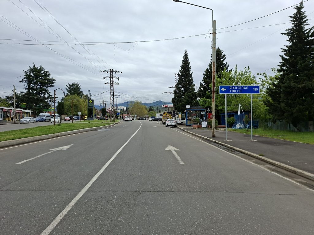
Kharagauli Pass
This morning it was still raining, just like it had been all night—I could hear the raindrops drumming on the roof. But the forecast said it would stop around 10 a.m., and it did—maybe closer to 10:15. We had planned to leave at 10, but as usual, it ended up being a bit later, and we only set off at 10:35.
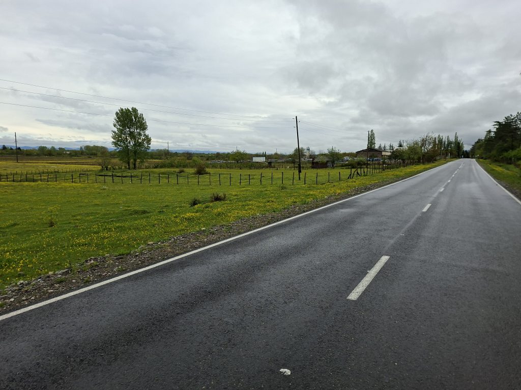
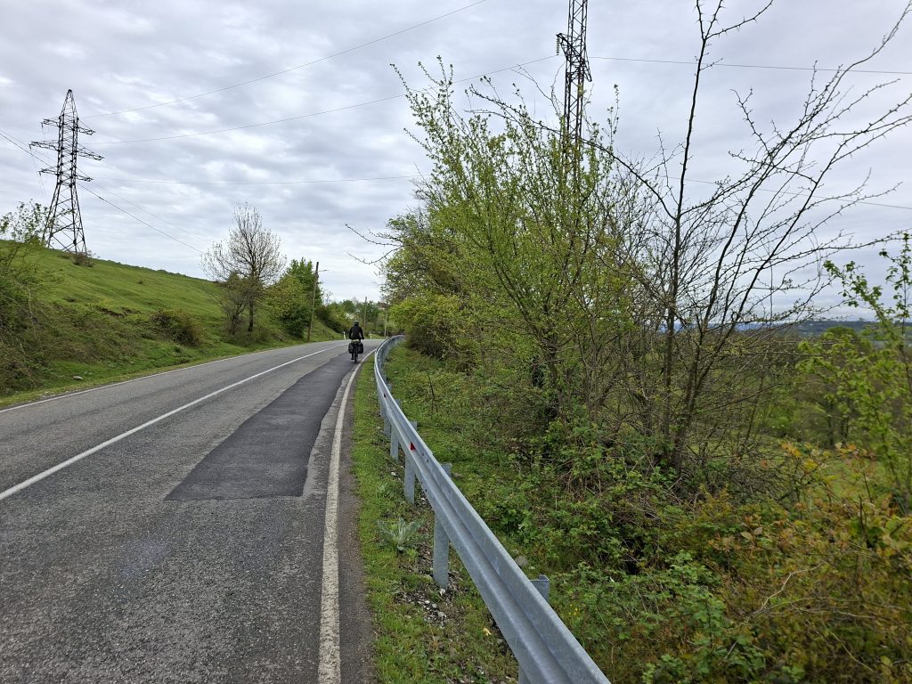
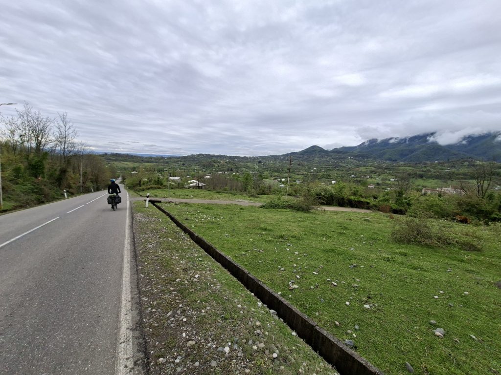
The roads were still wet, but that wasn’t a big issue. It was quite cold, though I was glad it wasn’t raining anymore. From the very start, it was a gentle uphill, first over rolling hills with short descents in between. We followed a route from Komoot, but it wasn’t always ideal and often tried to lead us onto smaller, worse roads, even though the main road had very little traffic. Most of the time I noticed these detours in advance and we stayed on the main road, though not always.
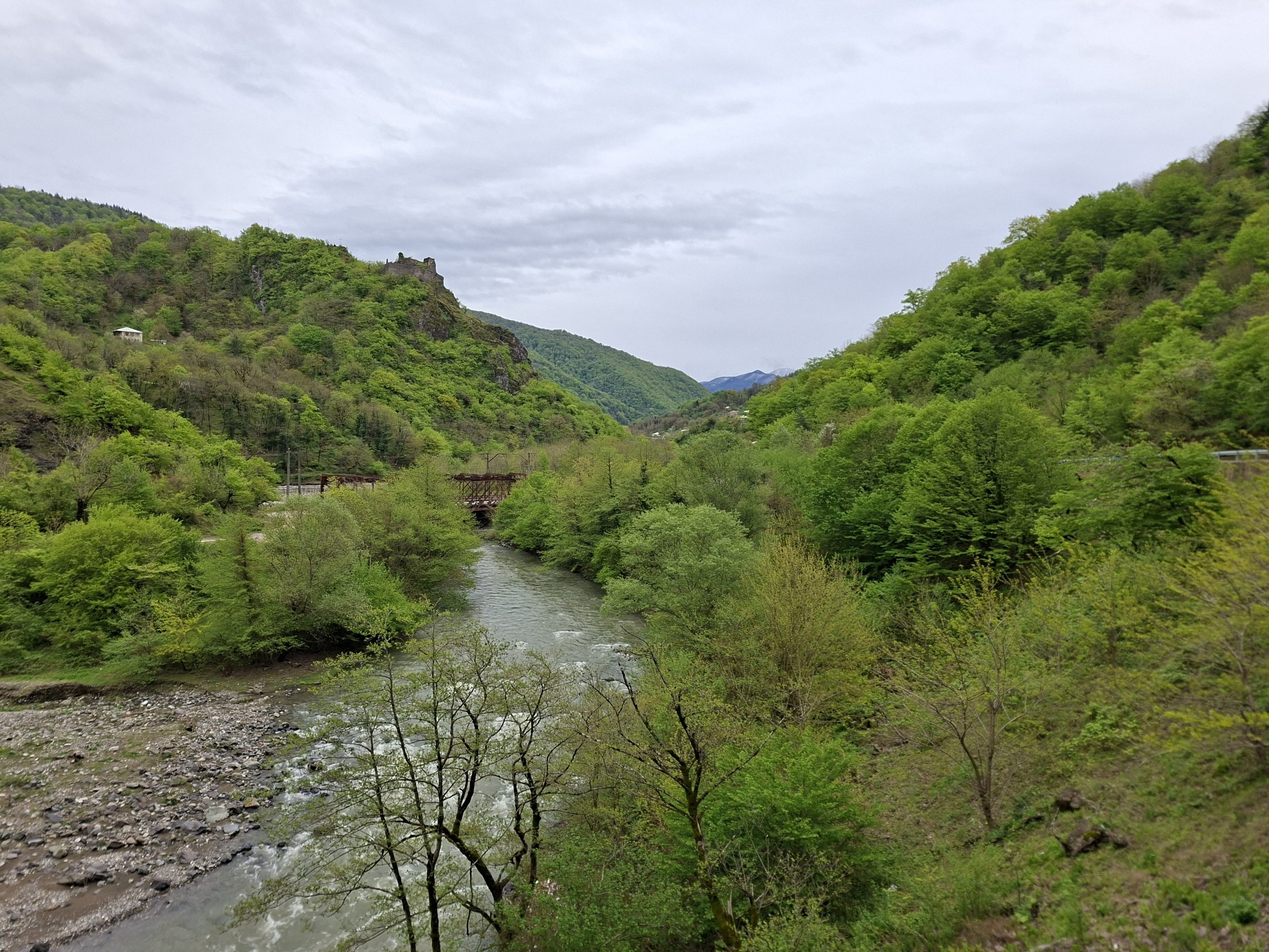
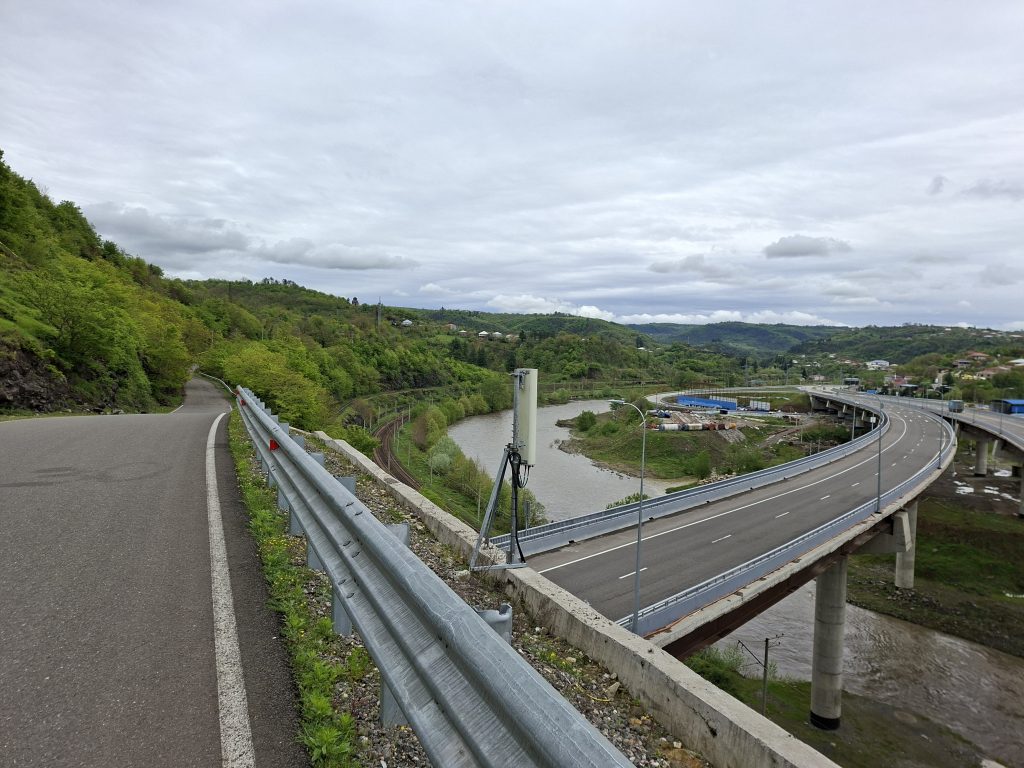
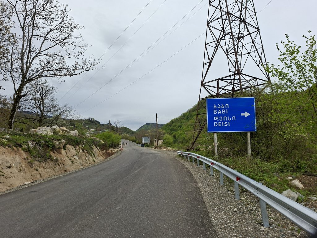
Yesterday, Shaun noticed that the route suggested by Komoot over the Kharagauli Pass included a longer stretch of gravel road. Since it had rained so much, we were worried it might be muddy, so we considered taking an alternative road along the highway. But upon closer inspection near the junction, we realized that while there was a small road alongside the highway, it wasn’t continuous—there were a few kilometers where only the highway existed. So in the end, we had to go over the Kharagauli Pass.
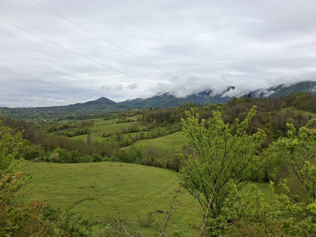
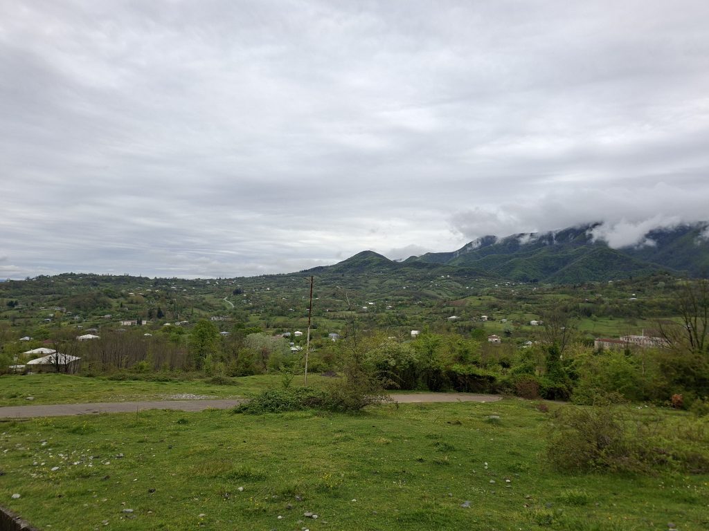
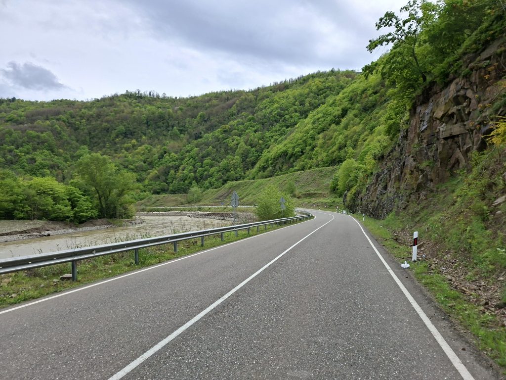
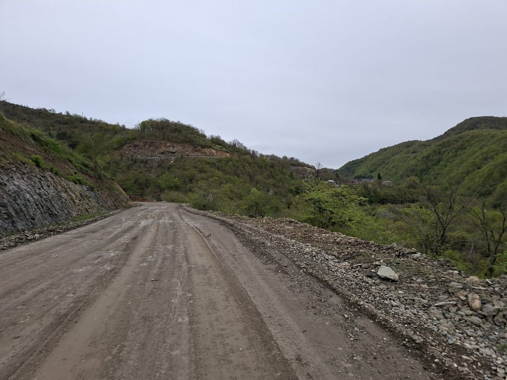
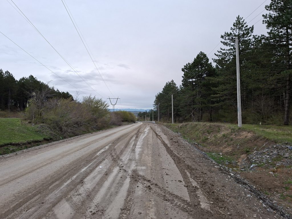
The pass stretched out over a long distance: 758 meters of elevation gain spread over more than 32 km. So it wasn’t very steep and quite pleasant to ride. However, that also made it hard to estimate how long it would take to cross. It gradually became clear that arriving before dark might be tight. In the end, though, we reached the top faster than expected—the gravel sections were somewhat wet in places, but mostly well-compacted, so it rolled quite well. It definitely wasn’t the disaster we had feared and spent so much time planning around. There were hardly any potholes, for example. At the top, a new road was under construction, and the unpaved sections were already well prepared for asphalting. Shaun said he saw Chinese construction workers ahead of him, though I didn’t notice them.
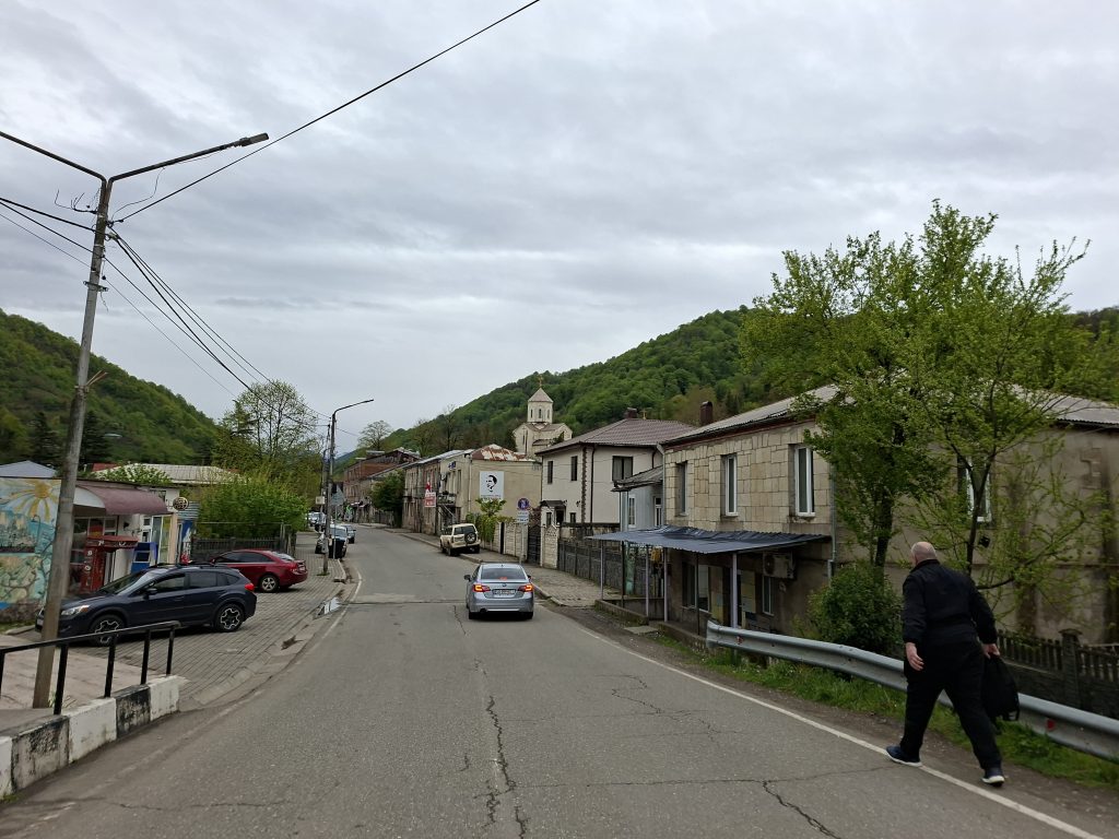
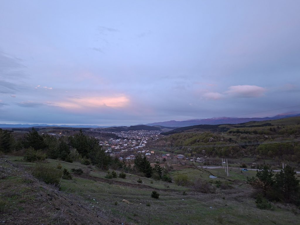
At the top of the pass, there was a beautiful evening atmosphere with lights and reflections. However, by the time we reached a good spot to take photos during the descent, most of the magic had already faded. And by the time we completed the short descent into Khashuri, it was already dark. We went to the hostel I had found, and fortunately, after a short wait, another guest came out and helped us call the host, who wasn’t on-site. By the time we could finally check in, it was already after 9 p.m. That annoyed me a bit—after all, we had just had a rest day, and already on the first day after, we were back in a late schedule. But if we had left earlier, it would still have been raining, so today probably couldn’t have gone differently. Still, I’d like to start earlier tomorrow—let’s see if we can manage that.


-
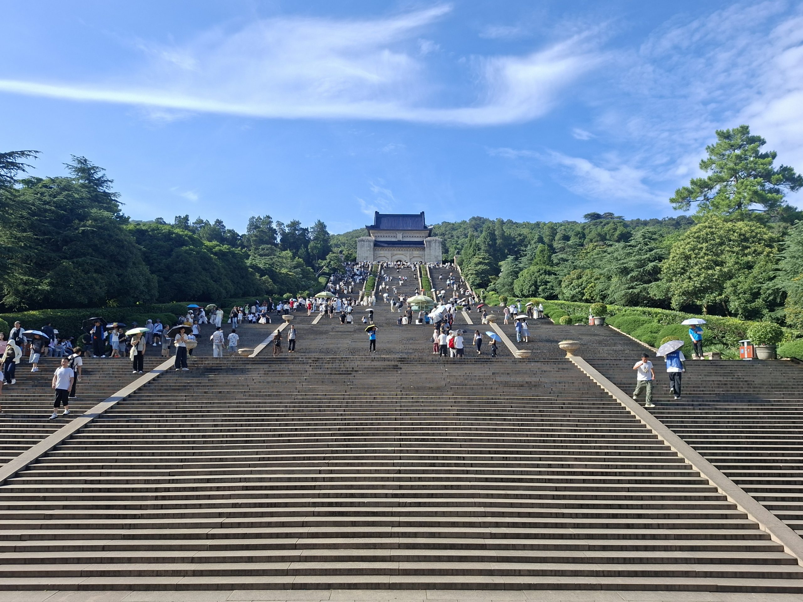
Day 142 – Nanjing (Rest Day)
Schweiss und Besucher in Strömen Heute Morgen versuchten wir nochmals Billete für die Gedenkhalle für die Opfer des Massakers von Nanking durch japanische Invasoren zu reservieren. Allerdings hatten wir wie schon gestern…
-
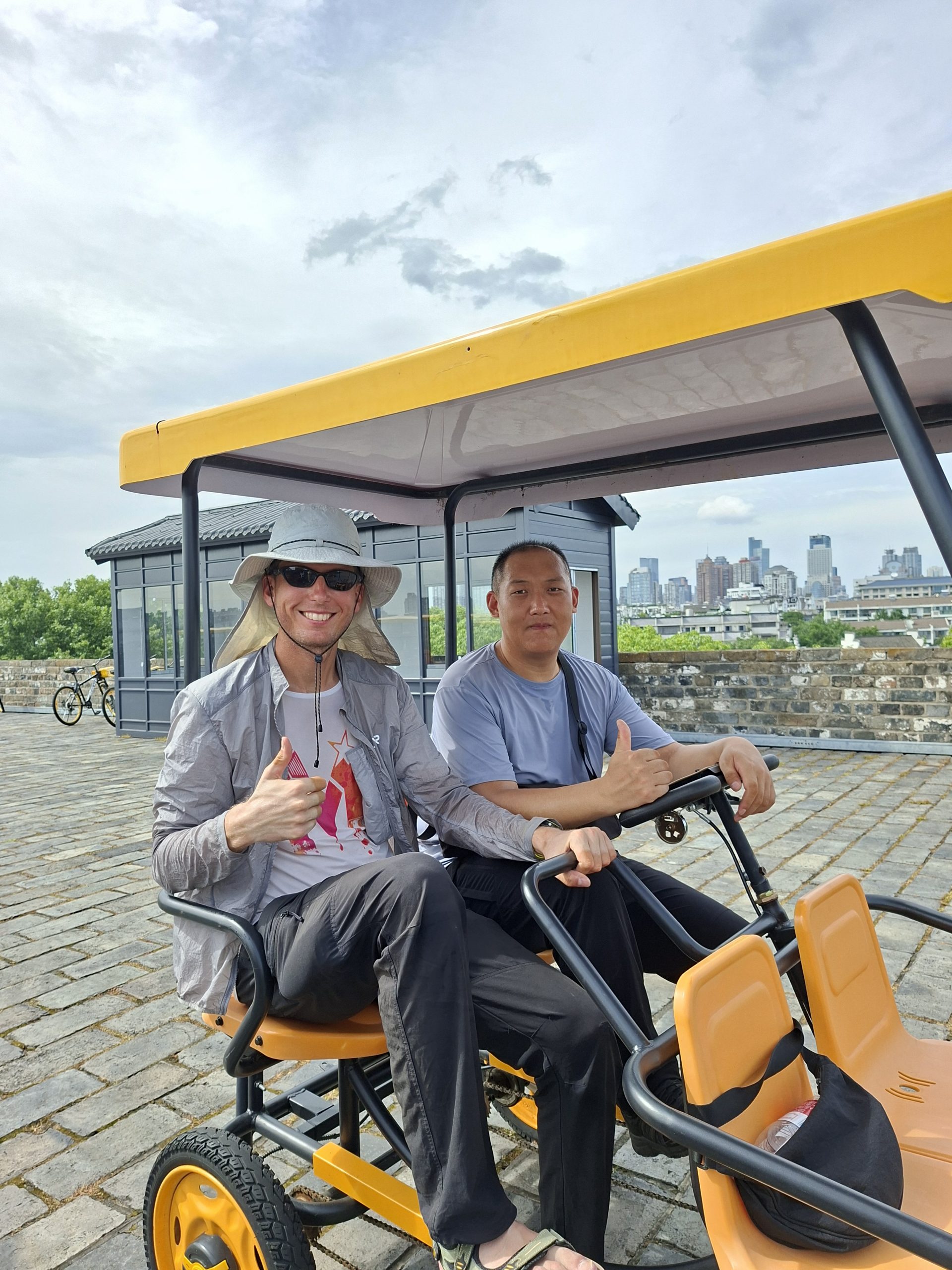
Day 141 – Nanjing (Rest Day)
Veganes Buffet und Stadtmauer Nach dem ausschlafen – so richtig klappte das nicht, es wurde zu früh hell und laut – und bestaunen der Aussicht vom 25. Stock unserer Unterkunft nahmen wir…
-
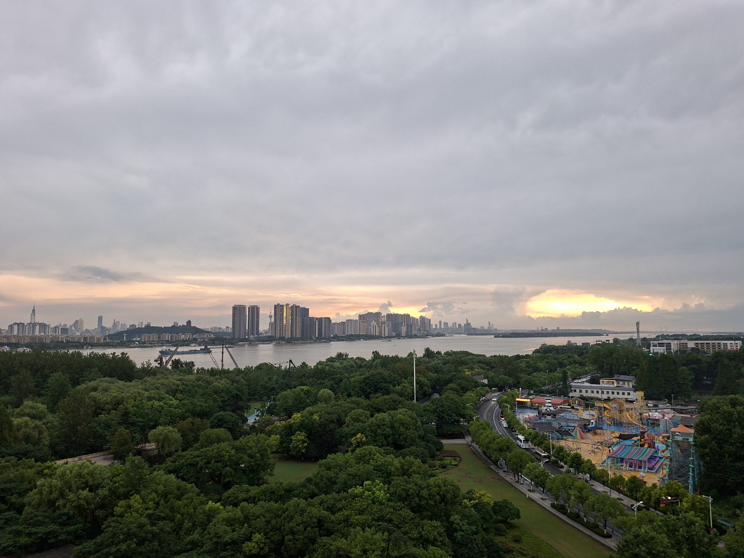
Day 140 – Dingyuan – Nanjing (143.40 km / 1045 m elevation gain)
Vom Schweissbad in den Regen Die ursprüngliche grobe Planung war erst Morgen in Nanjing anzukommen. Doch so wie die Hotels gelegen waren bietete es sich an, heute eine etwas weitere Strecke zu…
Leave a Reply